
Arzier topographic map
Interactive map
Click on the map to display elevation.
About this map
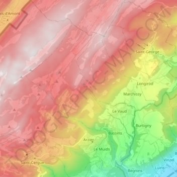
Name: Arzier topographic map, elevation, terrain.
Location: Arzier, District de Nyon, Vaud, 1273, Suisse (46.43725 6.09695 46.54530 6.23236)
Average elevation: 1,087 m
Minimum elevation: 422 m
Maximum elevation: 1,534 m