
Luge topographic map
Interactive map
Click on the map to display elevation.
About this map
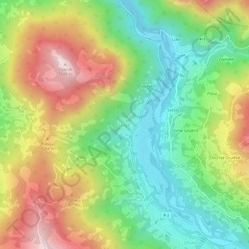
Name: Luge topographic map, elevation, terrain.
Location: Luge, Municipalité d'Andrijevica, Monténégro (42.68322 19.81052 42.72322 19.85052)
Average elevation: 1,083 m
Minimum elevation: 766 m
Maximum elevation: 1,532 m