Geolocate

Ghizzano topographic map

Click on the map to display elevation.

About this map

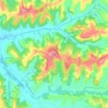
Name: Ghizzano topographic map, elevation, terrain.

Location: Ghizzano, Peccioli, Pisa, Tuscany, 56037, Italy (43.51967 10.77300 43.55967 10.81300)

Average elevation: 103 m

Minimum elevation: 52 m

Maximum elevation: 190 m

Gear up for your next adventure:

🛰️Handheld GPS Units - Rugged GPS devices for tracking coordinates and elevation in the Australian bush
🥶Thermal Beanies - Warm hats for cold hikes
🧢Wide Brim Sun Hats - Maximum coverage for the face and neck while out in the open
🍳Ultralight Camping Stoves - Boil water quickly for meals using minimal fuel
Ultralight Solo Tents - Compact shelters for multi-day topographic surveying expeditions

As an Amazon Associate, this site earns from qualifying purchases at no extra cost to you.