
Rtine topographic map
Interactive map
Click on the map to display elevation.
About this map
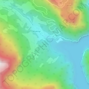
Name: Rtine topographic map, elevation, terrain.
Location: Rtine, Municipalité de Plužine, Monténégro (43.25641 18.81681 43.25651 18.81691)
Average elevation: 905 m
Minimum elevation: 630 m
Maximum elevation: 1,520 m