
Es Xap topographic map
Interactive map
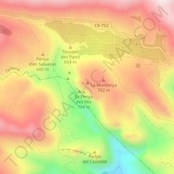
Click on the map to display elevation.
About this map
Name: Es Xap topographic map, elevation, terrain.
Average elevation: 656 m
Minimum elevation: 308 m
Maximum elevation: 901 m
Other topographic maps
Click on a map to view its topography, its elevation and its terrain.
Serra de ses Cordelleres
España > Comunidad Valenciana > Tárbena
Serra de ses Cordelleres, Tárbena, La Marina Baja, Alicante, Comunidad Valenciana, España
Average elevation: 746 m