
شط العرب topographic map
Interactive map
Click on the map to display elevation.
About this map
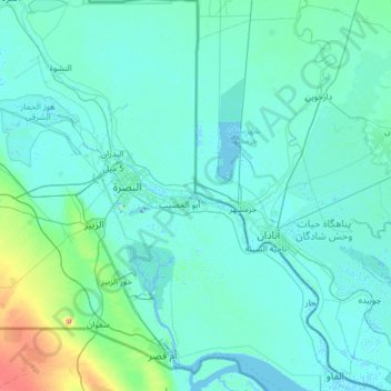
Name: شط العرب topographic map, elevation, terrain.
Location: شط العرب, Gobernación de Basora, 124000, Irak (29.93232 47.44235 31.00471 48.61502)
Average elevation: 8 m
Minimum elevation: -10 m
Maximum elevation: 123 m