
Saint-Achillée topographic map
Interactive map
Click on the map to display elevation.
About this map
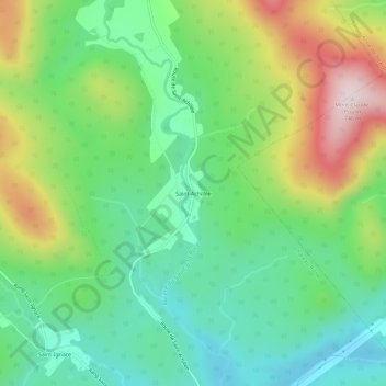
Name: Saint-Achillée topographic map, elevation, terrain.
Average elevation: 423 m
Minimum elevation: 252 m
Maximum elevation: 744 m
Other topographic maps
Click on a map to view its topography, its elevation and its terrain.
Lac Garneau
Canada > Québec > La Côte-de-Beaupré > Château-Richer
Lac Garneau, Château-Richer, La Côte-de-Beaupré, Capitale-Nationale, Québec, Canada
Average elevation: 706 m