Geolocate

Sakarya topographic map

Click on the map to display elevation.

About this map
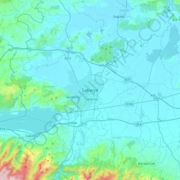
Name: Sakarya topographic map, elevation, terrain.

Location: Sakarya, Adapazarı, Sakarya, Marmara Region, 54000, Turkey (40.61263 30.24386 40.93263 30.56386)

Average elevation: 116 m

Minimum elevation: 11 m

Maximum elevation: 1,227 m

Gear up for your next adventure:

🔋Solar Power Banks - Charge your phone and GPS using the sun while deep in the bush
☕Outdoor Coffee Makers - Enjoy quality coffee at the summit of your favorite peak
📍Handheld GPS - GPS devices for hiking and navigation
📖Australian Bush Survival Books - Local knowledge on finding water and surviving the outback
🧭Global Orienteering Compass - High-precision liquid-filled compasses for accurate map reading and navigation

As an Amazon Associate, this site earns from qualifying purchases at no extra cost to you.