
Thank you for supporting this site ❤️
Make a donation
Make a donation
Gear up for your next adventure:
As an Amazon Associate, this site earns from qualifying purchases at no extra cost to you.
Dannenrod topographic map
Click on the map to display elevation.
Thank you for supporting this site ❤️
Make a donation
Make a donation
Gear up for your next adventure:
As an Amazon Associate, this site earns from qualifying purchases at no extra cost to you.
About this map
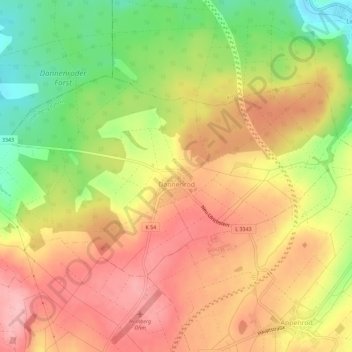
Name: Dannenrod topographic map, elevation, terrain.
Location: Dannenrod, Homberg (Ohm), Vogelsbergkreis, Hesse, Germany (50.75067 8.99812 50.77122 9.05511)
Average elevation: 305 m
Minimum elevation: 228 m
Maximum elevation: 362 m
Thank you for supporting this site ❤️
Make a donation
Make a donation
Gear up for your next adventure:
As an Amazon Associate, this site earns from qualifying purchases at no extra cost to you.