
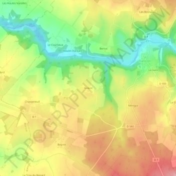
Ardent topographic map
Interactive map
Click on the map to display elevation.
About this map
Name: Ardent topographic map, elevation, terrain.
Average elevation: 260 m
Minimum elevation: 186 m
Maximum elevation: 327 m
Other topographic maps
Click on a map to view its topography, its elevation and its terrain.
Bersac
France > Nouvelle-Aquitaine > Haute-Vienne > Rancon
Bersac, Rancon, Bellac, Haute-Vienne, Nouvelle-Aquitaine, France métropolitaine, 87290, France
Average elevation: 254 m