
Lake May topographic map
Interactive map
Click on the map to display elevation.
About this map
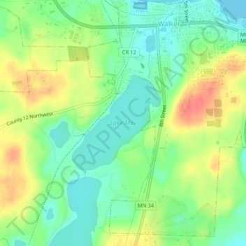
Name: Lake May topographic map, elevation, terrain.
Location: Lake May, Walker, Cass County, Minnesota, United States (47.08561 -94.60076 47.09601 -94.58638)
Average elevation: 419 m
Minimum elevation: 394 m
Maximum elevation: 454 m