
El Carmen topographic map
Interactive map
Click on the map to display elevation.
About this map
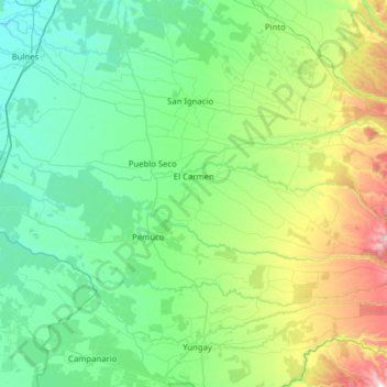
Name: El Carmen topographic map, elevation, terrain.
Location: El Carmen, Provincia de Diguillín, Región de Ñuble, Chili (-37.01465 -72.21523 -36.82648 -71.58718)
Average elevation: 300 m
Minimum elevation: 48 m
Maximum elevation: 1,269 m