
茶阳镇 topographic map
Interactive map
Click on the map to display elevation.
About this map
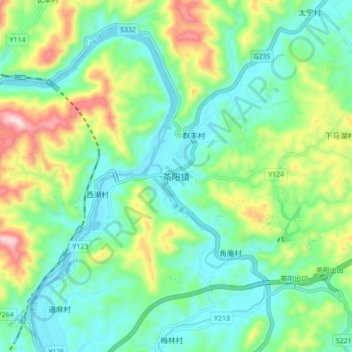
Name: 茶阳镇 topographic map, elevation, terrain.
Location: 茶阳镇, 梅州市, 广东省, 中国 (24.47845 116.63642 24.55845 116.71642)
Average elevation: 152 m
Minimum elevation: 41 m
Maximum elevation: 422 m
Other topographic maps
Click on a map to view its topography, its elevation and its terrain.