
Uithoorn topographic map
Interactive map
Click on the map to display elevation.
About this map
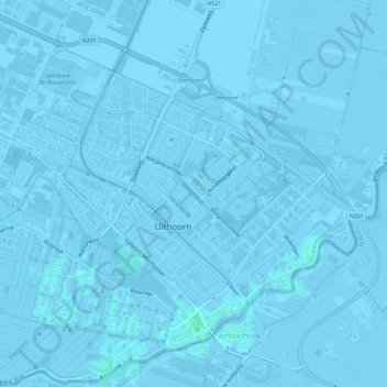
Name: Uithoorn topographic map, elevation, terrain.
Location: Uithoorn, Noord-Holland, Nederland (52.22711 4.79506 52.26102 4.85219)
Average elevation: -2 m
Minimum elevation: -7 m
Maximum elevation: 3 m
Topografisch kaartbeeld van de gemeente Uithoorn, per september 2022
Other topographic maps
Click on a map to view its topography, its elevation and its terrain.
De Kwakel
Nederland > Noord-Holland > Uithoorn
De Kwakel, Uithoorn, Noord-Holland, Nederland
Average elevation: -2 m