
Budel-Schoot topographic map
Interactive map
Click on the map to display elevation.
About this map
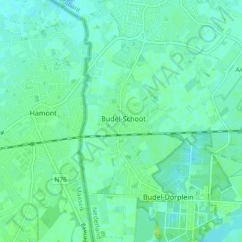
Name: Budel-Schoot topographic map, elevation, terrain.
Location: Budel-Schoot, Noord-Brabant, Nederland, 6023, Nederland (51.22994 5.54611 51.26994 5.58611)
Average elevation: 35 m
Minimum elevation: 30 m
Maximum elevation: 45 m