
Belen topographic map
Interactive map
Click on the map to display elevation.
About this map
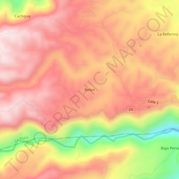
Name: Belen topographic map, elevation, terrain.
Location: Belen, La Plata, Occidente, Huila, Colombia (2.18453 -76.07957 2.22453 -76.03957)
Average elevation: 1,957 m
Minimum elevation: 1,606 m
Maximum elevation: 2,144 m
Other topographic maps
Click on a map to view its topography, its elevation and its terrain.