
Kidukulu topographic map
Interactive map
Click on the map to display elevation.
About this map
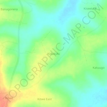
Name: Kidukulu topographic map, elevation, terrain.
Location: Kidukulu, Kayunga, Central Region, Uganda (0.94667 32.88000 0.98667 32.92000)
Average elevation: 1,066 m
Minimum elevation: 1,047 m
Maximum elevation: 1,095 m