
史家口村 topographic map
Interactive map
Click on the map to display elevation.
About this map
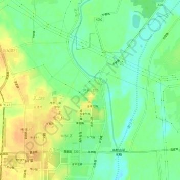
Name: 史家口村 topographic map, elevation, terrain.
Location: 史家口村, 顺义区, 北京市, 中国 (40.20472 116.64824 40.24472 116.68824)
Average elevation: 39 m
Minimum elevation: 23 m
Maximum elevation: 56 m
Other topographic maps
Click on a map to view its topography, its elevation and its terrain.