
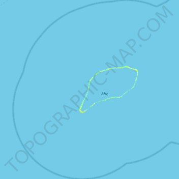
Ahe topographic map
Interactive map
Click on the map to display elevation.
About this map
Name: Ahe topographic map, elevation, terrain.
Location: Ahe, Manihi, Tuamotu-Gambier, Frans-Polynesië, Frankrijk (-14.76827 -146.60991 -14.22450 -146.11410)
Average elevation: 0 m
Minimum elevation: -1 m
Maximum elevation: 12 m