
Gili Air topographic map
Interactive map
Click on the map to display elevation.
About this map
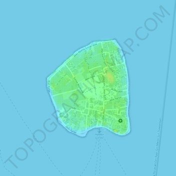
Name: Gili Air topographic map, elevation, terrain.
Average elevation: 1 m
Minimum elevation: 0 m
Maximum elevation: 13 m
Other topographic maps
Click on a map to view its topography, its elevation and its terrain.
Gili Trawangan
Indonesia > West Nusa Tenggara > Lombok Utara
Gili Trawangan, Lombok Utara, West Nusa Tenggara, Lesser Sunda Islands, Indonesia
Average elevation: 3 m