Geolocate

Coal Cliff topographic map

Click on the map to display elevation.

About this map

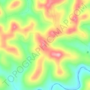
Name: Coal Cliff topographic map, elevation, terrain.

Location: Coal Cliff, Wayne County, Kentucky, United States (36.80725 -84.62110 36.80735 -84.62100)

Average elevation: 313 m

Minimum elevation: 233 m

Maximum elevation: 401 m

Gear up for your next adventure:

🧺Waterproof Dry Sacks - Organize your pack and keep electronics safe from rain and river crossings
📡Weather Radios - Emergency weather radios
🚁Camera Drones with GPS - Capture aerial views of the landscape to compare with topo maps
🍶Collapsible Water Bottles - Save space in your pack as you consume your water supply
Ultralight Solo Tents - Compact shelters for multi-day topographic surveying expeditions

As an Amazon Associate, this site earns from qualifying purchases at no extra cost to you.