
Furth im Wald topographic map
Interactive map
Click on the map to display elevation.
About this map
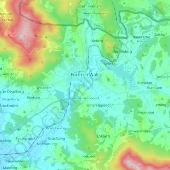
Name: Furth im Wald topographic map, elevation, terrain.
Location: Furth im Wald, Landkreis Cham, Beieren, 93437, Duitsland (49.25136 12.74570 49.35097 12.91932)
Average elevation: 503 m
Minimum elevation: 373 m
Maximum elevation: 957 m