Geolocate

Matatalaib topographic map

Click on the map to display elevation.

About this map

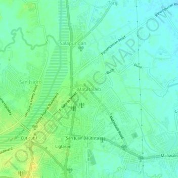
Name: Matatalaib topographic map, elevation, terrain.

Location: Matatalaib, Tarlac, Central Luzon, 2300, Philippines (15.47793 120.58071 15.51793 120.62071)

Average elevation: 43 m

Minimum elevation: 35 m

Maximum elevation: 54 m

Gear up for your next adventure:

🌧️Rain Jackets - Waterproof jackets for hiking
Ultralight Solo Tents - Compact shelters for multi-day topographic surveying expeditions
🗺️Topographic Maps - Detailed maps for hiking and navigation
🚁Camera Drones with GPS - Capture aerial views of the landscape to compare with topo maps
🎒40L Day Hiking Backpacks - Comfortable packs with hydration support for long days exploring topographic peaks

As an Amazon Associate, this site earns from qualifying purchases at no extra cost to you.