
Jagat topographic map
Interactive map
Click on the map to display elevation.
About this map
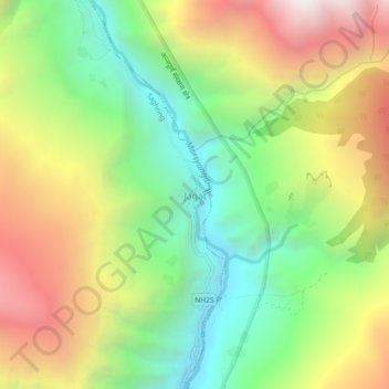
Name: Jagat topographic map, elevation, terrain.
Location: Jagat, Taghring, Marsyangdi, लमजुङ, Gandaki, Népal (28.39303 84.38649 28.43303 84.42649)
Average elevation: 1,887 m
Minimum elevation: 1,107 m
Maximum elevation: 2,923 m