
Cedar Vale topographic map
Interactive map
Click on the map to display elevation.
About this map
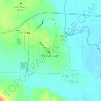
Name: Cedar Vale topographic map, elevation, terrain.
Location: Cedar Vale, Chautauqua County, Kansas, 67024, United States (37.09693 -96.51134 37.11414 -96.49044)
Average elevation: 284 m
Minimum elevation: 267 m
Maximum elevation: 341 m