
萬里桐 topographic map
Interactive map
Click on the map to display elevation.
About this map
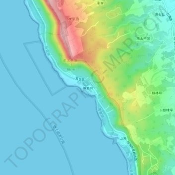
Name: 萬里桐 topographic map, elevation, terrain.
Location: 萬里桐, 山海里, 恆春鎮, Comté de Pingtung, 946, Taïwan (21.97755 120.68466 22.01755 120.72466)
Average elevation: 36 m
Minimum elevation: 0 m
Maximum elevation: 171 m