
Village of Hughenden topographic map
Interactive map
Click on the map to display elevation.
About this map
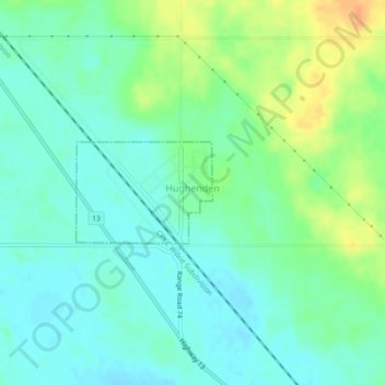
Name: Village of Hughenden topographic map, elevation, terrain.
Location: Village of Hughenden, Division No. 7, Alberta, Canada (52.50686 -110.97667 52.51401 -110.96095)
Average elevation: 702 m
Minimum elevation: 690 m
Maximum elevation: 725 m