
Bachhauli topographic map
Interactive map
Click on the map to display elevation.
About this map
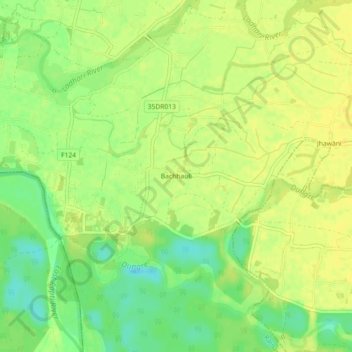
Name: Bachhauli topographic map, elevation, terrain.
Location: Bachhauli, Ratnanagar, चितवन, Bagmati, Népal (27.56080 84.48815 27.60080 84.52815)
Average elevation: 187 m
Minimum elevation: 172 m
Maximum elevation: 195 m