
Banjarbaru topographic map
Interactive map
Click on the map to display elevation.
About this map
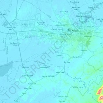
Name: Banjarbaru topographic map, elevation, terrain.
Location: Banjarbaru, South Kalimantan, Indonesia (-3.60637 114.67520 -3.37255 114.90888)
Average elevation: 16 m
Minimum elevation: 1 m
Maximum elevation: 399 m