
Vilopriu topographic map
Interactive map
Click on the map to display elevation.
About this map
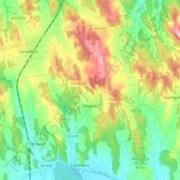
Name: Vilopriu topographic map, elevation, terrain.
Location: Vilopriu, Bas-Ampurdan, Gérone, Catalogne, 17144, Espagne (42.07916 2.95193 42.14007 3.02088)
Average elevation: 79 m
Minimum elevation: 18 m
Maximum elevation: 166 m