Geolocate

Tornagrain topographic map

Click on the map to display elevation.

About this map

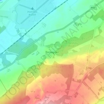
Name: Tornagrain topographic map, elevation, terrain.

Location: Tornagrain, Highland, Scotland, IV2 8BD, United Kingdom (57.50626 -4.05698 57.54626 -4.01698)

Average elevation: 51 m

Minimum elevation: 0 m

Maximum elevation: 134 m

Gear up for your next adventure:

🧊Insulated Cooler Bags - Keep food fresh for day trips to remote geographic sites
🔦Headlamps - Hands-free lighting for hiking
🧳Outdoor Travel Organizers - Gear organization accessories
🧢Wide Brim Sun Hats - Maximum coverage for the face and neck while out in the open
🩹First Aid Kits - Emergency kits for hiking

As an Amazon Associate, this site earns from qualifying purchases at no extra cost to you.