
Rufling topographic map
Interactive map
Click on the map to display elevation.
About this map
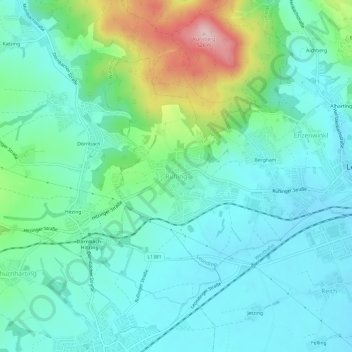
Name: Rufling topographic map, elevation, terrain.
Location: Rufling, Linz-Land, Oberösterreich, 4061, Österreich (48.25823 14.19681 48.29823 14.23681)
Average elevation: 331 m
Minimum elevation: 274 m
Maximum elevation: 517 m