
Kham District topographic map
Interactive map
Click on the map to display elevation.
About this map
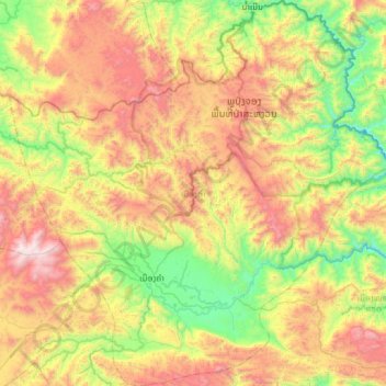
Name: Kham District topographic map, elevation, terrain.
Location: Kham District, Xiangkhouang Province, Laos (19.47387 103.33616 20.04067 103.92979)
Average elevation: 1,083 m
Minimum elevation: 384 m
Maximum elevation: 2,166 m