
Northern Hungary topographic map
Interactive map
Click on the map to display elevation.
About this map
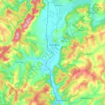
Name: Northern Hungary topographic map, elevation, terrain.
Location: Northern Hungary, Great Plain and North, 3752, Hungary (48.34258 20.66960 48.44638 20.84610)
Average elevation: 214 m
Minimum elevation: 134 m
Maximum elevation: 364 m
Other topographic maps
Click on a map to view its topography, its elevation and its terrain.