
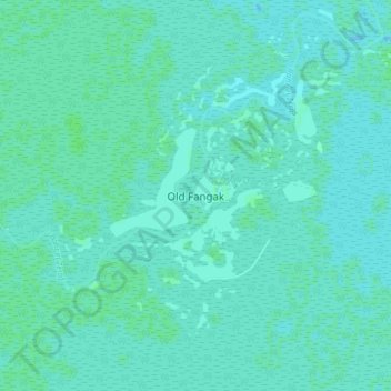
Old Fangak topographic map
Interactive map
Click on the map to display elevation.
About this map
Name: Old Fangak topographic map, elevation, terrain.
Location: Old Fangak, Jonglei, South Sudan (9.02689 30.84003 9.10689 30.92003)
Average elevation: 393 m
Minimum elevation: 391 m
Maximum elevation: 397 m