
Dalton topographic map
Interactive map
Click on the map to display elevation.
About this map
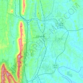
Name: Dalton topographic map, elevation, terrain.
Location: Dalton, Whitfield County, Georgia, USA (34.69987 -85.03963 34.82026 -84.85948)
Average elevation: 254 m
Minimum elevation: 194 m
Maximum elevation: 546 m