
Sopela topographic map
Interactive map
Click on the map to display elevation.
About this map
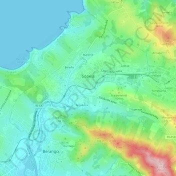
Name: Sopela topographic map, elevation, terrain.
Average elevation: 63 m
Minimum elevation: 0 m
Maximum elevation: 241 m
Other topographic maps
Click on a map to view its topography, its elevation and its terrain.
Bakio
Spanje > Autonome Gemeenschap Baskenland > Andraka
Bakio, Andraka, Biskaje, Autonome Gemeenschap Baskenland, 48620, Spanje
Average elevation: 138 m