
Park City topographic map
Interactive map
Click on the map to display elevation.
About this map
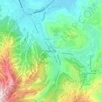
Name: Park City topographic map, elevation, terrain.
Location: Park City, Summit County, Utah, 84060, USA (40.62606 -111.51797 40.66606 -111.47797)
Average elevation: 2,273 m
Minimum elevation: 2,051 m
Maximum elevation: 2,736 m