
Whaley Bridge topographic map
Interactive map
Click on the map to display elevation.
About this map
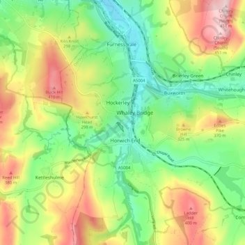
Name: Whaley Bridge topographic map, elevation, terrain.
Average elevation: 266 m
Minimum elevation: 137 m
Maximum elevation: 455 m
Other topographic maps
Click on a map to view its topography, its elevation and its terrain.
Castleton
Verenigd Koninkrijk > Engeland > Derbyshire > High Peak > Castleton
Castleton, High Peak, Derbyshire, Engeland, Verenigd Koninkrijk
Average elevation: 326 m