
Parque Nacional Cerros de Amotape topographic map
Interactive map
Click on the map to display elevation.
About this map
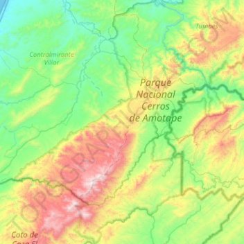
Name: Parque Nacional Cerros de Amotape topographic map, elevation, terrain.
Average elevation: 466 m
Minimum elevation: 0 m
Maximum elevation: 1,573 m