
Förlingen topographic map
Interactive map
Click on the map to display elevation.
About this map
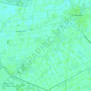
Name: Förlingen topographic map, elevation, terrain.
Average elevation: 39 m
Minimum elevation: 36 m
Maximum elevation: 42 m
Other topographic maps
Click on a map to view its topography, its elevation and its terrain.
Neustadt
Deutschland > Niedersachsen > Landkreis Diepholz > Wagenfeld
Neustadt, Wagenfeld, Landkreis Diepholz, Niedersachsen, Deutschland
Average elevation: 38 m