
地理屯 topographic map
Interactive map
Click on the map to display elevation.
About this map
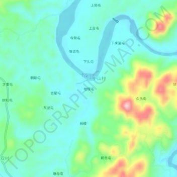
Name: 地理屯 topographic map, elevation, terrain.
Location: 地理屯, 环江县, 环江毛南族自治县, 河池市, 广西壮族自治区, 中国 (24.87660 108.23553 24.91660 108.27553)
Average elevation: 257 m
Minimum elevation: 197 m
Maximum elevation: 434 m