
Ferrol topographic map
Interactive map
Click on the map to display elevation.
About this map
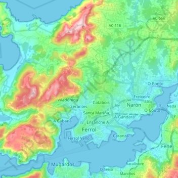
Name: Ferrol topographic map, elevation, terrain.
Location: Ferrol, La Coruña, Galicia, España (43.45319 -8.34810 43.56930 -8.18606)
Average elevation: 67 m
Minimum elevation: -2 m
Maximum elevation: 301 m