
Don River topographic map
Interactive map
Click on the map to display elevation.
About this map
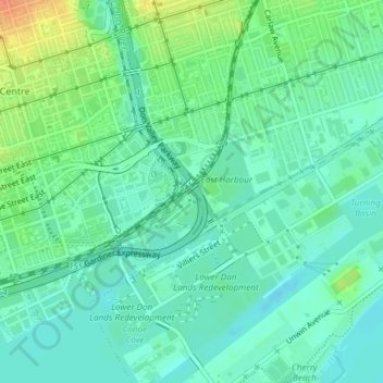
Name: Don River topographic map, elevation, terrain.
Average elevation: 80 m
Minimum elevation: 67 m
Maximum elevation: 107 m
Other topographic maps
Click on a map to view its topography, its elevation and its terrain.
Financial District
Financial District, PATH, Financial District, Spadina—Fort York, Old Toronto, Toronto, Golden Horseshoe, Ontário, Canadá
Average elevation: 90 m