
Gallant topographic map
Interactive map
Click on the map to display elevation.
About this map
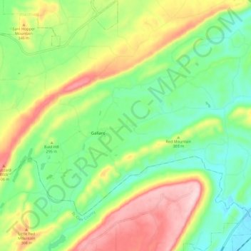
Name: Gallant topographic map, elevation, terrain.
Location: Gallant, Etowah County, Alabama, 35972, United States (33.96561 -86.29002 34.03715 -86.17745)
Average elevation: 278 m
Minimum elevation: 169 m
Maximum elevation: 452 m