
Pòrtol topographic map
Interactive map
Click on the map to display elevation.
About this map
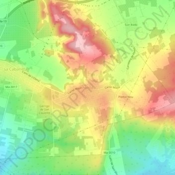
Name: Pòrtol topographic map, elevation, terrain.
Location: Pòrtol, Marratxí, Raiguer, Balearische Inseln, 07320, Spanien (39.59734 2.75162 39.63734 2.79162)
Average elevation: 137 m
Minimum elevation: 50 m
Maximum elevation: 229 m