Geolocate

Springfield Township topographic map

Click on the map to display elevation.

About this map

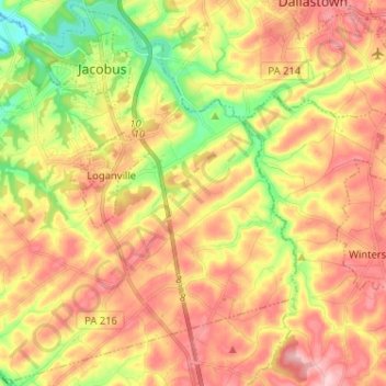
Name: Springfield Township topographic map, elevation, terrain.

Location: Springfield Township, York County, Pennsylvania, 17360, United States (39.80289 -76.77409 39.89924 -76.64558)

Average elevation: 225 m

Minimum elevation: 124 m

Maximum elevation: 310 m

Other topographic maps

Click on a map to view its topography, its elevation and its terrain.

Gear up for your next adventure:

🆘Personal Locator Beacons (PLB) - Satellite emergency beacons for life-saving help in areas with no mobile coverage
🔦Headlamps - Hands-free lighting for hiking
🏕️Camping Gear - Essential camping equipment
👄SPF Lip Balm - Prevent sun and wind-burnt lips on mountain ridges
🧥Down Jackets - Insulated jackets for cold weather

As an Amazon Associate, this site earns from qualifying purchases at no extra cost to you.