Geolocate
👉 Easily get elevation data in JSON, GeoTIFF and KML formats using Elevation API
Thank you for supporting this site ❤️
Make a donation

Tiree topographic map

Click on the map to display elevation.

About this map

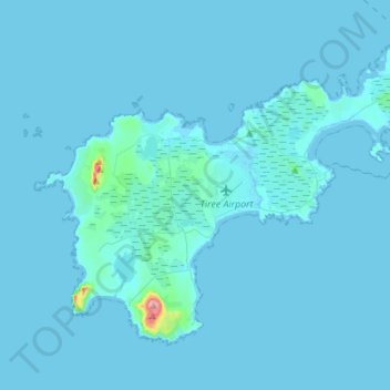
Name: Tiree topographic map, elevation, terrain.

Location: Tiree, Balemartine, Argyll and Bute, Scotland, United Kingdom (56.44040 -6.99904 56.55634 -6.72334)

Average elevation: 3 m

Minimum elevation: -1 m

Maximum elevation: 137 m

Other topographic maps

Click on a map to view its topography, its elevation and its terrain.

Mannal

United Kingdom > Scotland > Argyll and Bute > Balemartine

Average elevation: 13 m

Gear up for your next adventure:

🧼Biodegradable Soap - Eco-friendly outdoor soap
🧣Merino Neck Gaiters - Versatile headwear for warmth, sun protection, or dust filtering
🔥Ferrocerium Rod Fire Starters - Reliable fire lighting in wet or windy conditions without matches
🔪Camping Knives - Multi-purpose outdoor knives
🐍Australian Snake Bite Kits - Specific pressure immobilization bandages for Australian venomous snakes

As an Amazon Associate, this site earns from qualifying purchases at no extra cost to you.