
Otterburn topographic map
Interactive map
Click on the map to display elevation.
About this map
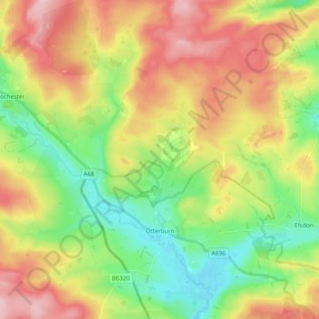
Name: Otterburn topographic map, elevation, terrain.
Average elevation: 240 m
Minimum elevation: 142 m
Maximum elevation: 366 m
Other topographic maps
Click on a map to view its topography, its elevation and its terrain.
Northumberland
Verenigd Koninkrijk > Engeland > Northumberland
Northumberland, North East England, Engeland, Verenigd Koninkrijk
Average elevation: 149 m