
Center Line topographic map
Click on the map to display elevation.
About this map
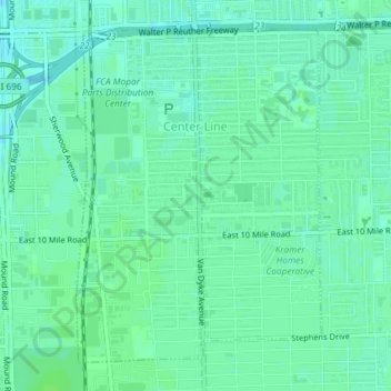
Name: Center Line topographic map, elevation, terrain.
Location: Center Line, Macomb County, Michigan, 48015, United States (42.46868 -83.03886 42.49179 -83.01584)
Average elevation: 192 m
Minimum elevation: 187 m
Maximum elevation: 195 m
Other topographic maps
Click on a map to view its topography, its elevation and its terrain.
Anchor Bay Shores
United States > Michigan > Macomb County > Chesterfield Township
Average elevation: 176 m
Saint Clair Haven
United States > Michigan > Macomb County > Harrison Township
Average elevation: 175 m
Preston Corners
United States > Michigan > Macomb County > Shelby Charter Township
Average elevation: 198 m
Sterling Heights
United States > Michigan > Macomb County > Sterling Heights > Sterling Heights
Average elevation: 205 m